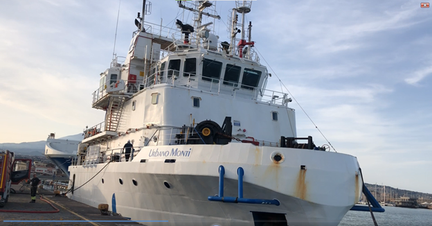
The Desktop Survey (DTS) has defined the Survey Cable Reference Route (SCRR) and has identified the natural and human elements and activities that could impinge on the cable. This information provides the main guide for the Marine Survey (aka Hydrographic Survey) during the on-field activities. The Marine Survey “looks” into the sea to observe what the seafloor around the cable route looks like.
The tasks, methods and devices used for the Marine Survey change according to the water depth:
- For depths below 3 meters, scuba divers survey a 10-meter-wide corridor centered on the route. The nature of the seabed is identified, and the crossing of any singularity is registered.

- For depths between 3 and 15 m, since a vessel as the Urbano Monti cannot navigate in such shallow waters, an inflatable Zodiac equipped with Multi Beam Echo Sounder and Sub Bottom Profiler is used for the inshore Surveys. It analyzes a 500 m corridor around the route. Sediment samples are collected every 500 m. A Highly accurate GPS measurement is required, we can see the two antennas of the GPS receiver fitted on the same mast as the MBES.
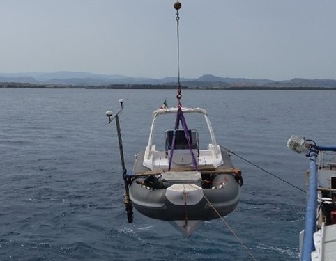
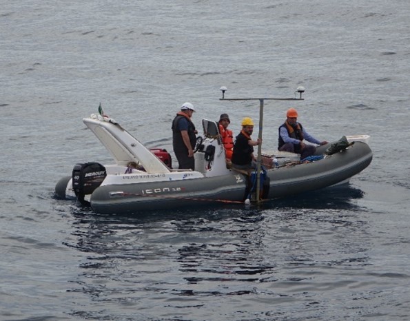
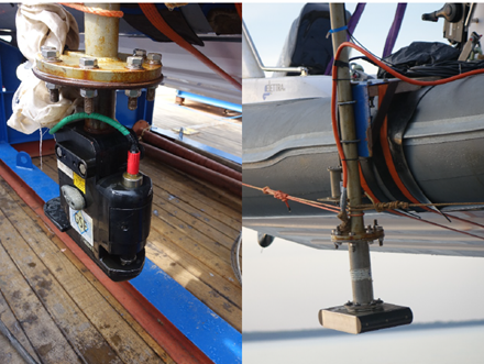
- For water depths between 15 to 1,000m (shallow waters) the Urbano Monti surveys a 1,000 m corridor around the route. In addition to the bathymetry, that is the measurement of the depths and shapes of the underwater terrain, performed with the Multi-Beam Echo Sounder (MBES), a Magnetometer is used to locate ferreous materials such as cables, pipelines and wrecks. A Sub Bottom Profiler (SBP) informs on the geological stratigraphy and a Side Scan Sonar (SSS) provides images of the seabed surface. Sediment samples with Gravity Coring and Cone Penetration Tests (CPT) are performed at regular distances to provide input for the Burial Assessment.
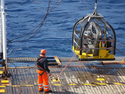
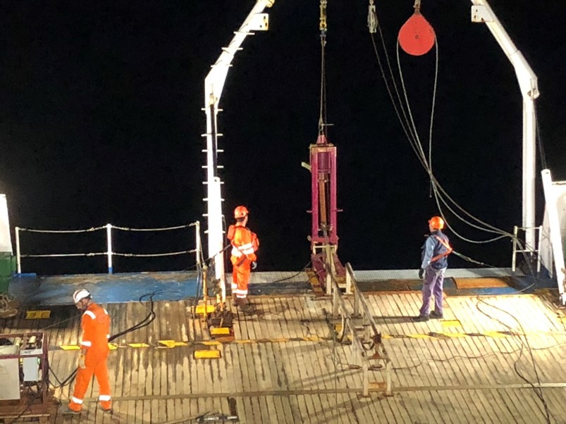
Whilst the CPT allows to measure the hardness of the seabed at different depths, the Gravity core obtains samples to be analyzed in the labs. The core is lowered over the side of the ship using a winch and wire rope and is allowed to fall into the sediments. A core catcher helps trap the sediments in the tubing and the corer is brought aboard the ship. For each sample, soil composition and shear strength are measured. For the in-shore area, where the vessel cannot navigate, superficial bottom samples are gathered by divers or by grabbers which are lowered at the sea bottom from the Zodiac by a winch.
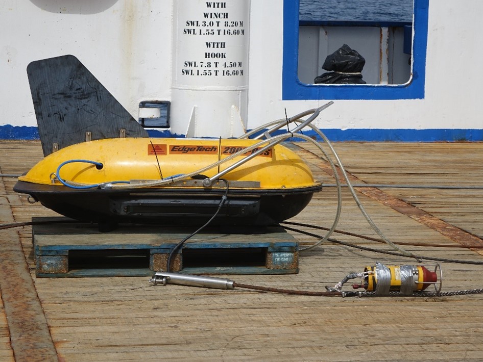
A towfish equipped with a Side Scan Sonar (SSS), a Sub Bottom Profiler (SBP) and a magnetometer are launched from the vessel, to survey the seabed submerged with more precision from a lower height. The distance from the vessel to the towfish is controlled by a winch that is operated by a technician on board.


- Deep Water Survey for depths greater than 1,000 m. This survey operations consists essentially in MBES bathymetry on a corridor with a width of three times the water depth.

